Tipón, is a sprawling early fifteenth-century Inca archaeological site that is
situated between 3,250 m (10,660 ft) and 3,960 m (12,990 ft) above sea level,
located 22 km (14 mi) southeast of Cusco near the village of Tipón, Peru.
It consists of several ruins enclosed by a powerful defensive wall about 6 km
(3.7 mi) long. The most renown (and easily accessible) part of the park is the
group of precise and right angled monumental terraces irrigated by a network
of water canals fed by a monumental fountain channeling water from a natural
spring. The site includes ancient residential areas and a remarkable amount of
petroglyphs in its upper part.
The irrigation system based on canals, fountains and stonework with water drop
structures shows that the Incas had an advanced water related technology and
were experienced hydraulic engineers.
|
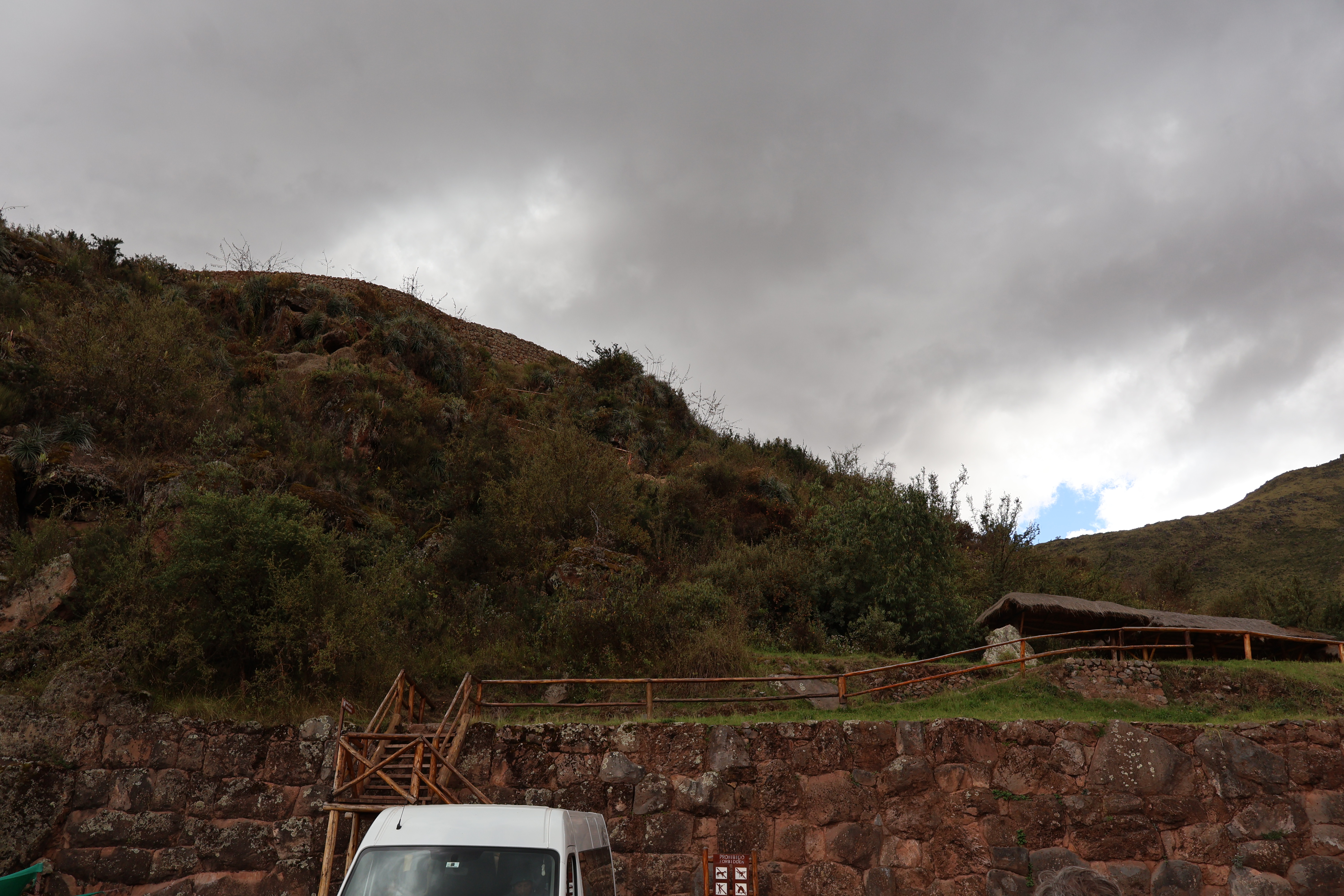
Entrance to the Tipón Archaeological Park
The Tipón complex is located near Oropesa in the Community of
Choquepata, Quispicanchi Province, southeast of Cusco, along the
Cusco-Puno road.
|
|
Tipón Plan
Plan Legend:
- Parking lot
- Sinkuna cancha
- Resting place
- Water channels
- Side water fountain
- Main water source
- Group of kanchas
- Qoicas
- Resting place
- Intihuatana
|
|
Panorama of Tipón
Viewed from the parking lot (Plan No. 1).
|
|
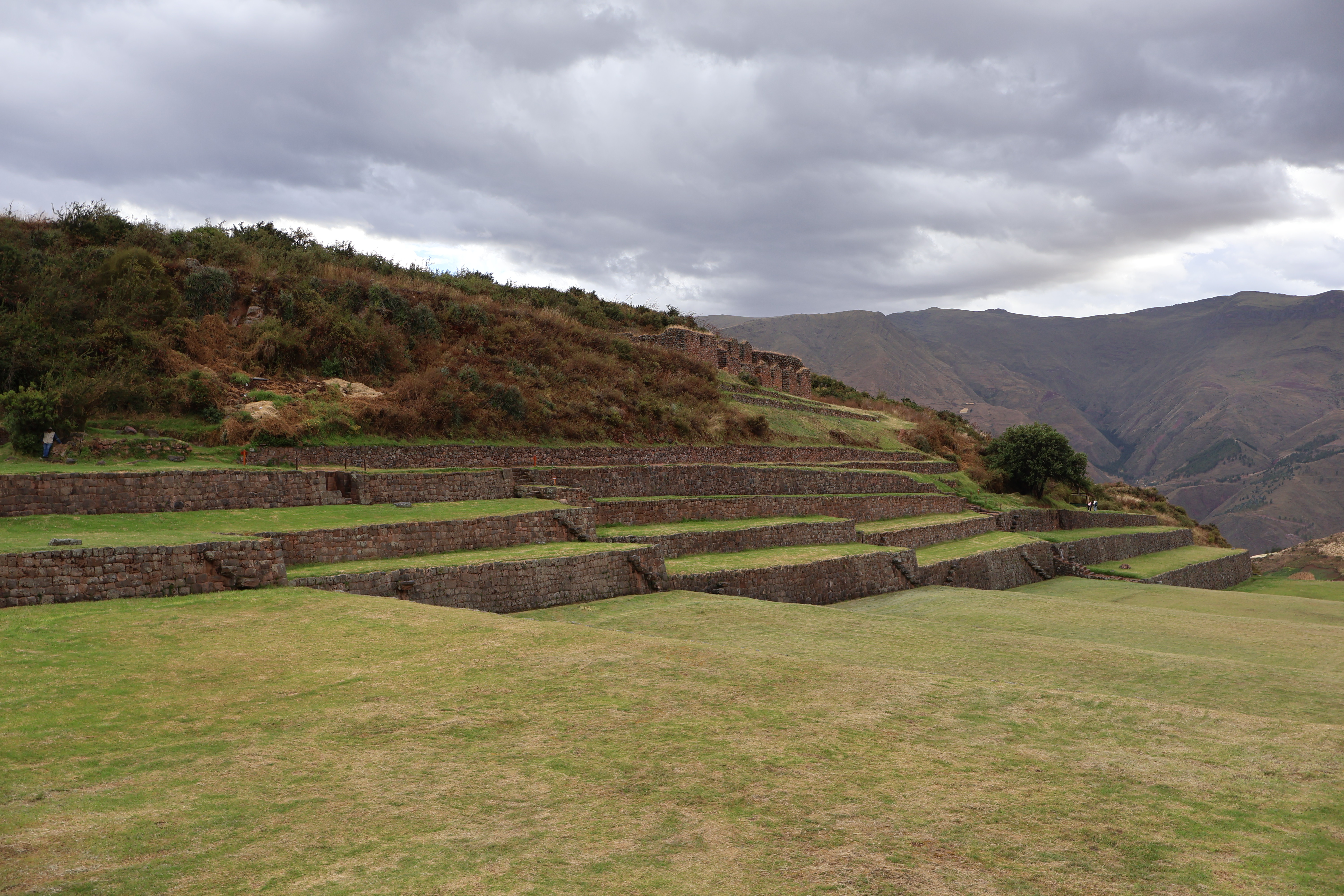
Panorama of the lower monumental terraces
The terraced areas ("andénes") within the Park cover a large proportion
of the total area within the defense walls.
-
The terraces represent about 100 hectares (250 acres) and some 50
hectares (120 acres) lie below one or more of the surface water
irrigation canals that divert from the Pukara river.
|
|
Water channel
Detail of a channel (Plan No. 4) and a retaining wall on the monumental
terraces.
|
|
Panorama of the upper monumental terraces
The monumental terraces are characterized by U-shaped walling.
-
The masonry is of high class, as evidenced by the careful shaping and
fitting.
- Just a few sectors present walls with types of rustic rig.
-
The walls range in height from 1 m (3.3 ft) to 5 m (16 ft), with an
average height of 2.5 m (8.2 ft) to 3 m (9.8 ft).
|
|
Panorama of the monumental terraces seen from top to bottom.
The 13 main terraces (covering an area of approximately 3 hectares (7.4
acres)) are located in the southern part of the Archaeological Park in a
shallow ravine that has a north-east to south-west orientation and range
in elevation from 3,380 m (11,090 ft) to 3,460 m (11,350 ft).
|
|
Monumental fountain
The main monumental fountain (Plan No. 6), restored in 1999, is located
on terrace 11 where a natural spring is collected, channeled and divided
in two jets which again divide to form four jets, which eventually join
in a single flow becoming the head of the canal work.
- It has a stable year-long flow of high quality water.
-
The ground water collection system is made of seven underground
conduits extending outwards in different directions.
-
The fountains structure has an outstanding design of stonework of
basalt and andesite.
|
|
Sinkuna cancha
Sinkuna cancha (Plan No. 2) is a residential area situated just above
monumental terrace 1 and has an east–west length of about 90 m (300 ft)
with a massive half-circular structure on the east.
-
It is composed of a set of enclosures whose main characteristic is
their integration with nature: terraces have been created that follow
the topography of the land, by cut and fill with retaining walls where
necessary.
-
The enclosures do not follow the classic set up of Inca canchas where
three or more buildings group up around a central patio but have a
free disposition.
|
See also
Source
Location