
The Nazca lines are a group of geoglyphs made in the soil of the Nazca Desert in southern Peru.
They were created between 500 BCE and 500 CE by people making depressions or shallow incisions in the desert floor, removing pebbles and leaving different-colored dirt exposed.
There are two major phases of the Nazca lines, Paracas phase, from 400 to 200 BCE, and Nazca phase, from 200 BCE to 500 CE.

Lines and geoglyphs
|


Blandine Gautier explains to us the importance of the Nazca Lines |

Nazca lines viewpoint |


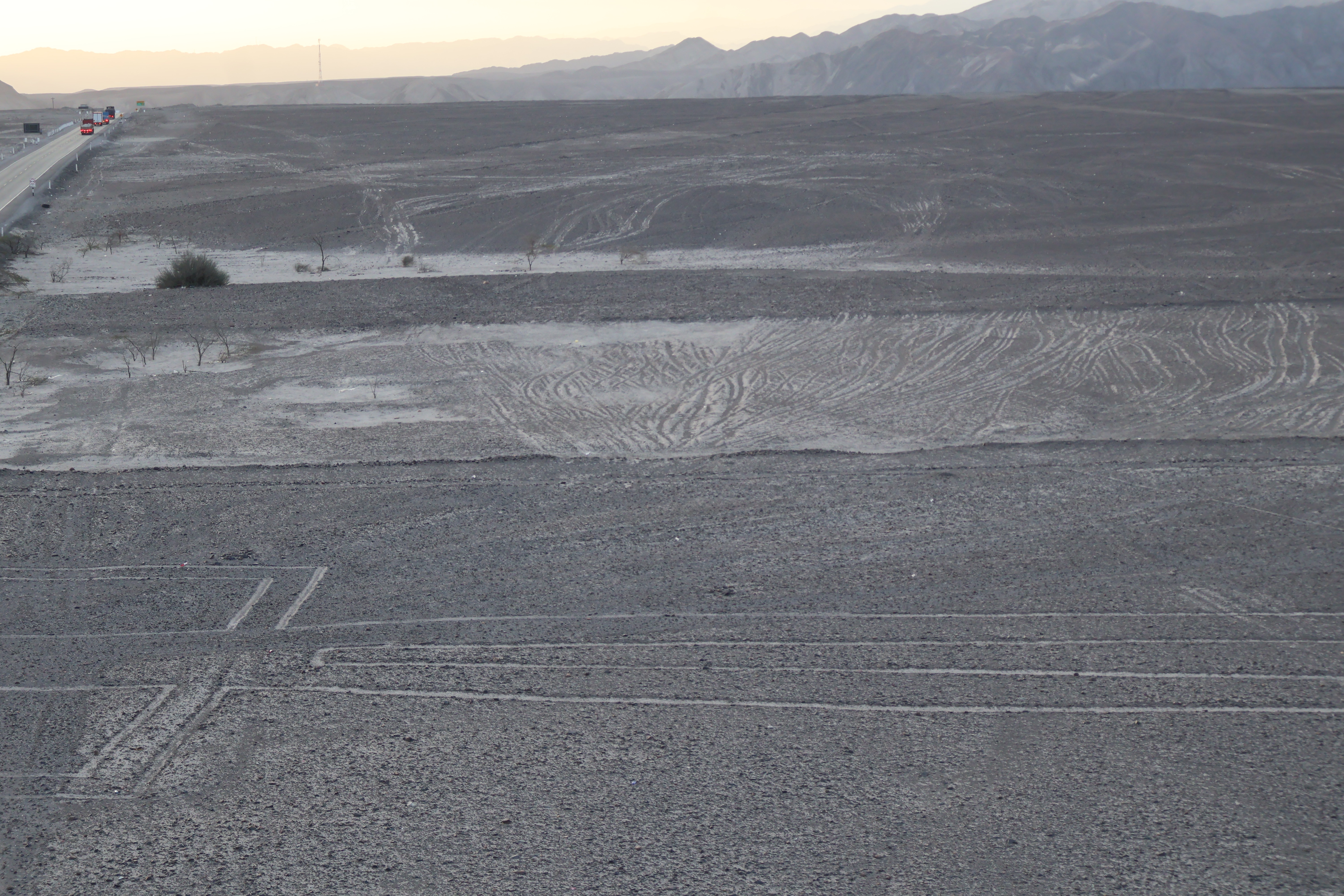
Climbing the Nazca Lines viewpoint |


Panorama of the Nazca Lines |


The Tree (El Árbol) |

The Hands (La Mano) |

Geometric lines, after The Tree, and before The Astronaut |


Panorama of the Nazca Lines |


The Lizard (La Lagartija) |
See also


Source
Location