Pachacamac is an archaeological site 40 km (25 mi) southeast of Lima, Peru in
the Valley of the Lurín River.
The site was first settled around 200 CE and was named after the "Earth Maker"
creator god Pacha Kamaq. The site flourished for about 1,300 years until the
Spanish invaded.
Pachacamac covers about 600 hectares of land.
|
Pachacamac Plan
Plan Legend:
- Entrance
- Adobes lima complex
- Pyramid with ramp No. 1
- North south street
- Pyramid with ramp No. 2
- Pyramid with ramp No. 3
- Taurichumpi palace
- House of the quipus
- Residences
- Max Uhle cemetery
- Painted temple
- Old temple
- Pilgrim square
- Sun temple
- Acllawasi
|
Adobes lima complex (Plan No. 2)
|
Adobes lima complex informative poster
This complex, from 200 - 650 CE, which served as an administrative
center, is the oldest building at the site.
-
The superimposed platforms and five quadrangular precincts around them
form a T.
-
It was built using small adobes lined up verticaly, much like a
bookshelf.
-
Later, during the Yachma period, this zone was used as a cemetery.
|
|
Adobes lima complex panorama
|
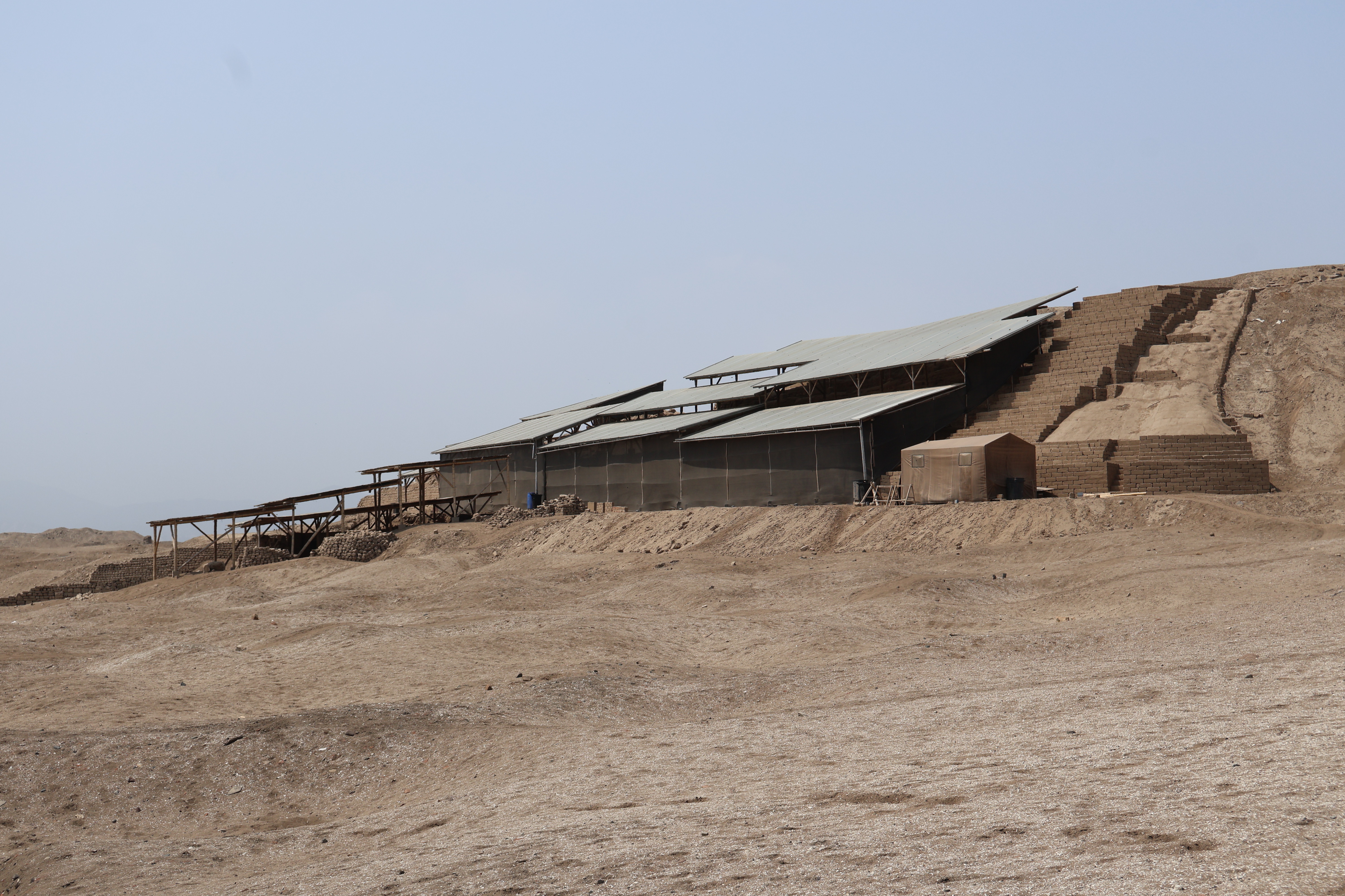
Pyramid with ramp No. 1 (Plan No. 3)
|
Pyramid with ramp No. 1 informative poster
These monumental constructions, from 900 - 1470 CE, functioned as
administrative centers or possibly as palaces.
-
Sixteen of these pyramids have been identified within the temple
complex.
-
This elevated structure is composed of several overlaying platforms
and is accessed by a central ramp located in front of a large patio.
-
The building includes buried beposits, closed spaces, storage rooms,
and roads connecting everything.
-
It seemed to serve as a palace for both public rituals and
administrative duties.
|
|
Pyramid with ramp No. 1 panorama
|
North south street (Plan No. 4)
|
North south street
Northern section (top photo) and southern section (lower photo).
-
This important route to the temple complex was defined and delineated
by tall walls of stone and adobe.
-
Currently 460 m (1509 ft) long and between 4 and 3 m (13 and 10 ft)
wide, it intersects the East-West street that divides the city into
four sectors.
|
Taurichumpi palace (Plan No. 7)
|
Taurichumpi palace
This residential building is located in the southern sector of the city.
It consists of two connected plazas on the north side, surrounded by
precincts, platforms, deposits and other structures connected by
corridors and ramps.
-
According to the Spanish chroniclers, the curaco Tourichumpi lived in
this building and was responsible for redistributing goods and
resources throughout the valley and for managing the population and
local cults.
|
Max Uhle cemetery (Plan No. 10)
|
Max Uhle cemetery informative poster
This area served as a cemetery from 600 - 1533 CE.
-
Located beneath and in front of the Painted Temple, it is the most
important cemetery in the temple complex.
-
This site was investigated by Max Uhle, who recovered a number of
funerary bundles with fine ceramic vessels and textiles that show some
similarities to those of the Wari culture in Ayacucho.
|
Painted Temple (Plan No. 11)
|
Painted temple information poster
This rectangular building, from 200 - 1470 CE, is made of small adobes
with 6-meter-tall ramparts covered with an adobe plaster decorated with
anthropomorphic figures such as fish, birds and plants, painted red and
yellow and outlined in black.
-
The building culminates in a platform with a chamber that housed the
wooden idol of the god Pachacamac.
-
Some chroniclers and researchers believe that this building was the
actual Oracle of Pachacamac and was in use up until the arrival of the
Spanish.
|
|
Old photo of the Painted temple
|
Pilgrim square (Plan No. 13)
|
Pilgrim square panorama
This plaza is located at the foot of the Sun temple and close to the
Painted temple: it is 550 m (1,804 ft) by 65 m (213 ft) and it is
approximately 35,750 m2 (384,810 ft2) large.
-
The large open space contains two rows of adobe columns that run down
the center, which probably served to support a thatch roof that
offered shade to pilgrims.
-
At the northern end of the plaza there are several structures and a
basin made of typical Imperial Inka architecture.
-
To the south one can identify an ushnu with a central staircase.
|
|
Pilgrim square (left) and Painted temple (right)
|
Sun temple (Plan No. 14)
|
Sun temple information poster
This is a natural promontory that the Inca built, from 1470 - 1533 CE,
into a trapezoidal building made of terraces and platforms of adobes.
-
The main side of the temple faces the sea and has a number of niches
that possibly served to deposit offerings.
-
The temple is topped with an open space surrounded by smaller
structures.
-
In ancient times, the temple had been covered by a layer of red
plaster, which can still be seen on some walls.
-
Here, archaeologists discovered human sacrifices dedicated to the Sun
as well as various other fine offerings.
|
|
Scale model of the Sun temple
|
|
Sun temple seen from north to south
|
|
Sun temple seen from northeast to southwest
|
|
Offering zone to Pachacamac
|
|
Pachacamac archaeological complex
Pachacamac archaeological complex seen from south to north, from the Sun
temple.
|
|
Northeast entrance to the Sun temple
|
|
North wall of the Sun temple
Construction sequence:
- Building a wall with stones and adobes.
- Clay plaster.
- Application of clay pigment.
|
|
Pachacamac archaeological complex
Pachacamac archaeological complex seen from the Sun temple.
|
|
West wall of the Sun temple
This is the main facade of the Sun temple which faces the sea.
|
|
Panorama of the western wall of the Sun temple
On this main façade we can see a number of niches that were possibly
used to deposit offerings.
|
|
Cuniraya and Cahuillaca
In the sea, in front of the Sun temple, are the Pachacámac islands.
-
In ancient times, Cuniraya travelled the highlands teaching the people
how to build agricultural terraces and irrigation canals. His
instructions resulted in abundant harvests, and this was perceived as
an affront to the wisdom of the gods of others peoples.
-
During that time, a beautiful princess called Cavillaca lived in
Anchicocha. Many gods wanted her, but she rejected them all and spent
her days weaving beneath a lúcumo tree. Cuniraya fell in love with
Cavillaca but she rejected his advances, so he turned into a bird and
flew to the top of the lúcumo tree. Cuniraya placed his seed inside a
lúcumo fruit and dropped it next to Cavillaca, who ate it and became
pregnant. Nine months later she gave birth to a child whom she raised
alone for a year.
-
When the child learned to crawl, Cavillaca summoned gods and princes
to find out who was the father of her child. Upon hearing Cavillaca’s
call, many men dressed in their finest clothes answered the call,
confident that they would be chosen. Cavillaca asked each one of them
if they were the father of her child, but they each replied that they
were not. Cavillaca decided then to let her son wander among the men
at the gathering and asked him to search for his father. The child
crawled to a spot where a man dressed in ragged clothes was sitting;
this man was no other than Cuniraya in disguise. When the mother saw
this, she became very angry and could not stand the disappointment
that a beggar was the father of her child, so she grabbed the child
and ran towards the sea. To the amazement of all, Cuniraya got rid of
his rags and arose, dressed in a golden suit, hoping that now
Cavillaca would love him. He ran after her, but she did not even
bother to look back and, in distress, she jumped into the sea where
she and her child turned into stone. The largest island is Cavillaca
and the small islet next to it is her son.
-
See more at
Cuniraya Huiracocha - Wikipedia
and
Pachacámac Islands - Wikipedia.
|
|
Southern end of the Sun temple
|
|
Reconstruction of the Sun temple seen from the south
|
|
Structures at the eastern corner of the Sun temple
|
|
East wall of the Sun temple
|
|
Northeast entrance to the Sun temple
After completely circling the Sun temple we return to the northeast
entrance.
|
Acllawasi (Plan No. 15)
|
Acllawasi information poster
The Acllawasi of Pachacamac is an elegant adobe building with Inca-style
stone foundations. It is accessed through a long access passage.
-
The South Entrance of Acllawasi is a construction from the Inca period
(1430 - 1533 CE), located at the western end of the East-West street
of the sanctuary.
- A large garbage dump from the Inca period was found there.
-
The ceramic fragments belong to plates, aryballs, jugs and pots of
Inca and Ychma styles.
- A significant number of female figurines were also identified.
-
Textile artifacts such as needles, spindles, combs and weaving swords
stand out, associated with cotton and camelid fibers, demonstrating
the great importance of this activity.
-
The study of the fauna confirms a large consumption of camelids, some
birds and marine species.
-
The botanical study revealed the consumption of corn, pacae, lucuma,
chili, avocado, peanuts, friar's plum, yuca, potato, among others.
|
|
Acllawasi panorama
The acllawasi (from the Quechua akllawasi meaning 'house
of the chosen ones') refers to a network of residential buildings of the
acllas, who were groups of women specialized in productive
activities, particularly in textiles and the preparation of chicha, and
who were obliged to provide labor services to the Inca state.
-
According to Garcilaso de la Vega, women entered the
acllawasi at the age of 8 to guarantee their virginity - an
indispensable condition - in addition to being cared for by eunuchs
and elders.
-
According to Guamán Poma, every November the acllas were
selected from each ayllu, regardless of whether they were
members of the Inca family, daughters of a curaca or of humble origin:
the only requirement was virginity. According to Cieza de León, the
absence of lineage took a backseat when the beauty of the young woman
was remarkable.
-
There were differences between the houses of Cuzco and those located
in the provinces: in the former, women had to be of royal blood since
they were destined to be the 'wives of the Sun'.
|
|
Painted temple (left) and Sun temple (right)
In this panorama we can see the Painted temple and the Sun temple seen
from the Acllawasi.
|
See also
Source
Location