
Cañón del Pato (Spanish: Duck Canyon) is on the Rio Santa (Santa River) at the north end of the Callejón de Huaylas (Corridor of Huaylas) in north-central Peru.
The mostly rocky canyon walls are too steep and arid for cultivation, and in only a few places are the slopes of the imposingly rugged canyon suitable even for grazing domestic animals.
The canyon was formed by the river where the north end of the Cordillera Negra range (to the west) converges with the Cordillera Blanca mountain range (to the east). These two Andean ridges run generally parallel for nearly 140 km (87 mi) from south of the city of Huaraz northward to the Cañón; the Cordillera Blanca continues northward for another hundred kilometers (62 mi) or more.
The Callejón de Huaylas is the valley between the two cordilleras averaging about 16 km (10 mi) in width, measured on a map from the crests of the two ridges, but in places as much as 25 km (16 mi) in width.
This route is one of the most dangerous in the world because it is so narrow, and that is why it has been included in the documentary series "Deadly Routes" produced by the History Channel.


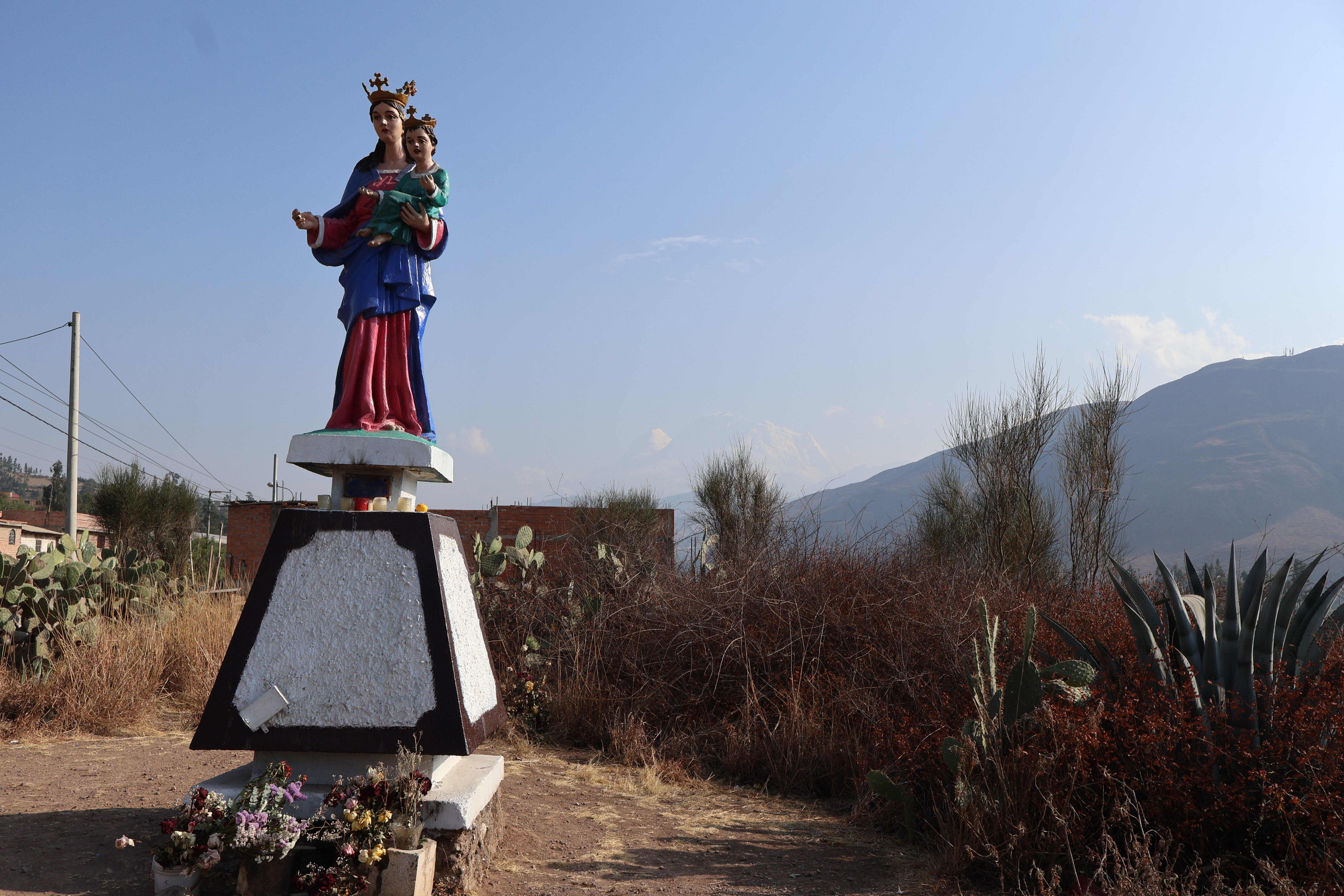


Anta viewpoint
|


Duck Canyon (Cañón del Pato)
|

Small tributary river |

Multiple mine entrances |


Very narrow section of the canyon |


Waterfall |


First stage of Duck Canyon
|


Mining gallery |


Duck Canyon Hydroelectric Power Plant
|


Huarochiri bridge |


Second stage of the Duck Canyon
|


Lunch along the Duck Canyon route |

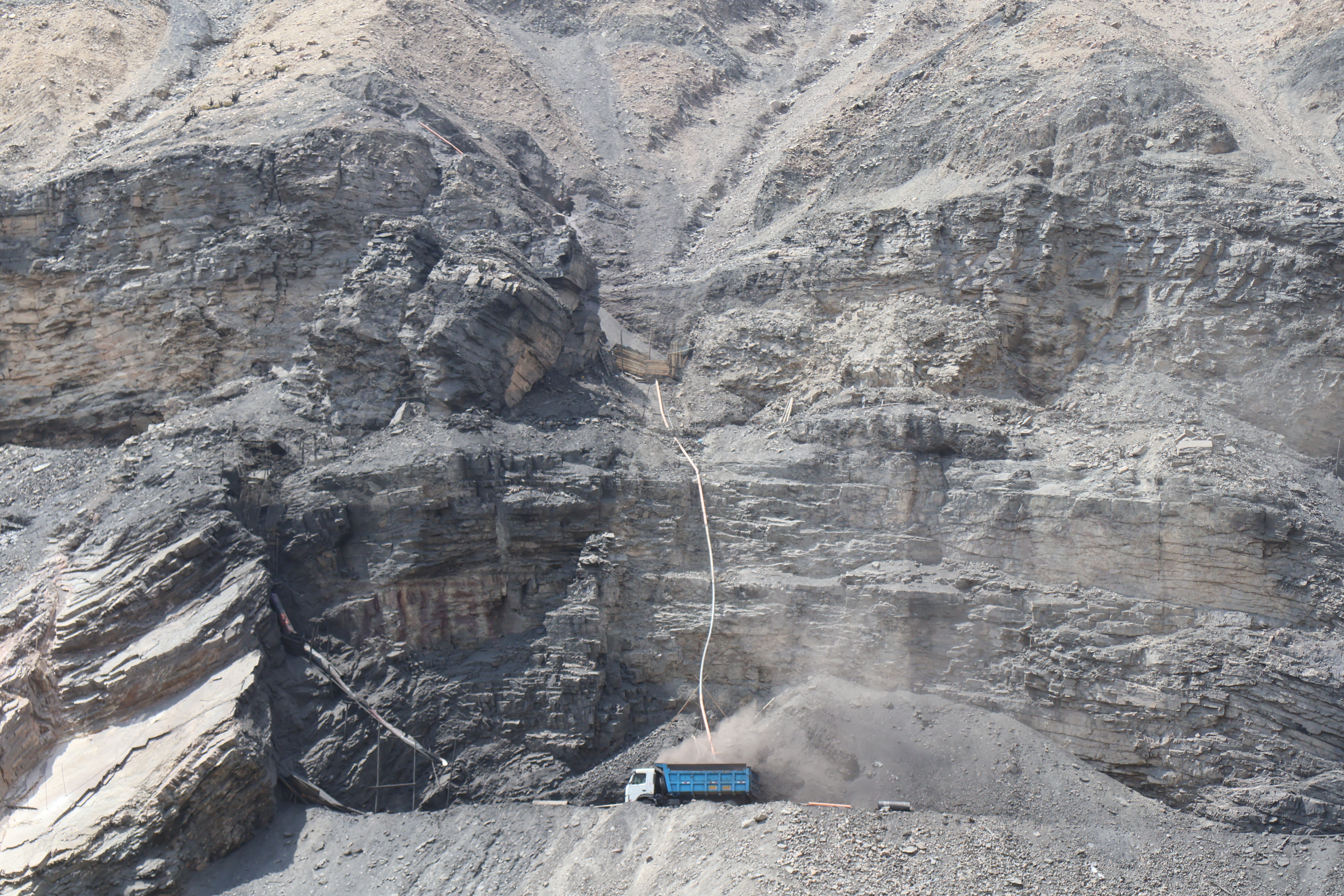

More mining activity |


Final stage of the Duck Canyon |


Santa's Castle (El Castillo de Santa)
|
See also


Source
Location